At Qabshax Geomatics Inc., quality is at the heart of everything we do. We are committed to delivering exceptional engineering and consultancy solutions that meet or exceed customer expectations while adhering to international standards and best practices.
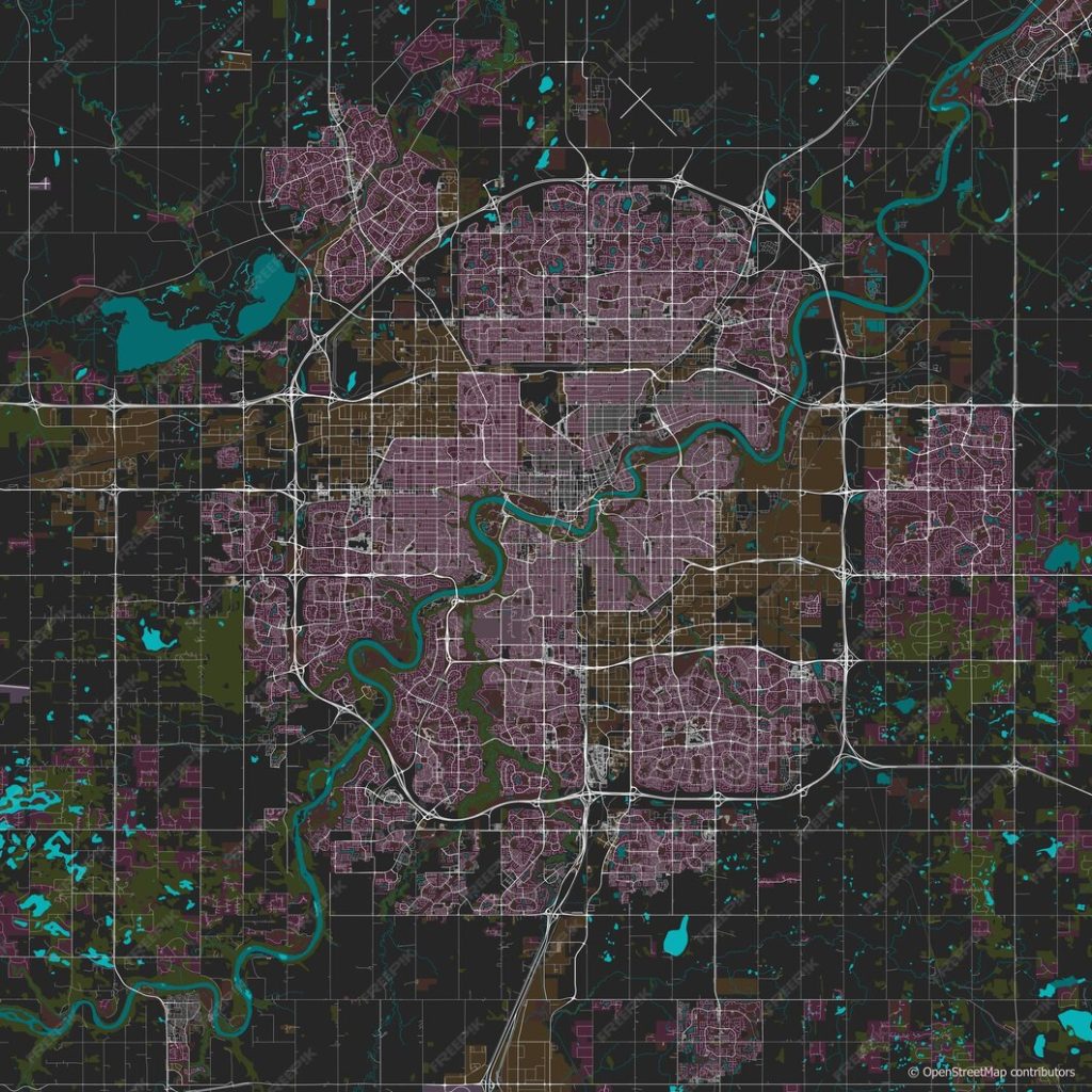
We deliver state-of-the-art Geographic Information Systems (GIS) and mapping solutions to enhance decision-making and project efficiency:
Spatial Data Analysis: Analyzing spatial relationships to support strategic planning and resource management.
Mapping and Cartography: Creating accurate and visually appealing maps to represent land, infrastructure, and project-specific data.
GIS Data Management: Organizing, storing, and maintaining spatial data for seamless integration into various applications.
Asset Management Systems: Developing systems that allow for effective tracking and management of physical assets, reducing downtime and costs.
Customized GIS Solutions: Tailoring GIS technologies to meet unique client requirements, enabling improved project outcomes and operational efficiency.